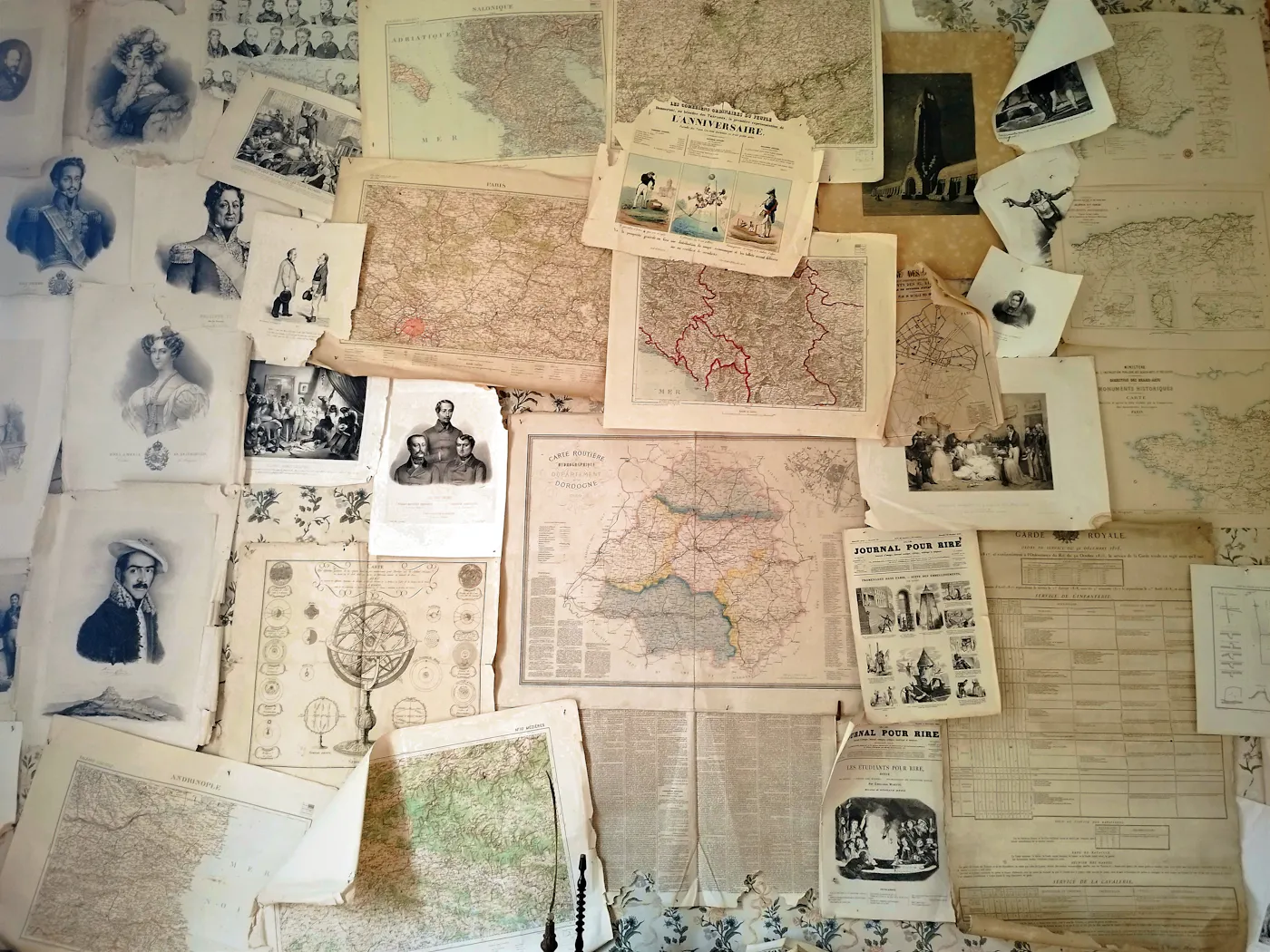
Families rarely stayed in one place, and the places themselves changed too. Borders moved, parishes split, towns were renamed and streets disappeared. Old maps help explain why an ancestor seems to be born in one country, married in another and buried in a third without ever travelling far.
Why place names cause confusion
A record gives a place as it was named on the day it was written. Your ancestor's village might have belonged to one county in 1850 and another in 1900, or sat in a region that changed country after a war. If you search using today's names and boundaries, the right records can stay hidden.
- Parish, county and district boundaries were redrawn many times.
- Some places had different names in different languages.
- Small hamlets were absorbed into growing towns and vanished from later maps.
- Streets were renamed or renumbered, especially in expanding cities.
Types of old maps worth knowing
Parish and jurisdiction maps
These show which church, registration district or court covered a given place, and so which archive is likely to hold the baptisms, marriages, burials or probate records you need.
Large-scale town plans
Detailed plans show individual streets and sometimes buildings. Use them to locate a census address and see what was nearby: the church, the mill, the school or the railway yard where someone may have worked.
Gazetteers
Historical gazetteers are not strictly maps. They describe places as they were at a given date, including which parish and county each belonged to, which makes them the place to look when a record spells a place oddly.
Military and survey maps
National survey maps from different decades can be compared side by side to see how a landscape changed, and where farms, cottages or whole villages once stood.
A method for placing an ancestor
- Write the place exactly as it appears in the record, spelling and all.
- Look it up in a historical gazetteer for the right period.
- Find it on a map from as close to the record's date as possible.
- Note the parish, district and country it belonged to at that time.
- Search for records using those historical jurisdictions, not modern ones.
Mapping your own family
Plotting events on a map can reveal patterns that a list of dates hides. Mark each birth, marriage, census address and burial with a pin and a year. You may see a family moving steadily towards a city, or several branches clustered within walking distance of one church. Free online mapping tools let you add pins and notes; a printed map and coloured stickers work just as well.
- Use one colour per generation or per family line.
- Add the source for each pin so you can trace it back.
- Look at neighbouring parishes when a record seems to be missing.
Where to find old maps
National libraries, county record offices and university map collections hold large numbers of historical maps, and many have digitised them for free viewing online. Local history societies often know the quirks of their area's boundaries and can point you to the right sheet.
A quick checklist
- Place written exactly as recorded.
- Historical gazetteer checked for the right date.
- Period map located and jurisdictions noted.
- Records searched under historical names.
- Family events plotted to look for patterns.
Where to go next
Once you know the correct historical parish or district, return to the registers and census returns for that area, and check neighbouring parishes too. Reading a census return column by column covers the address and birthplace entries that maps help you place, and the homepage section on where historical records come in explains how each record confirms a generation. Genealogy platforms such as MyHeritage include place-name tools and record collections arranged by location, and national map libraries offer free viewers that work well alongside them.